Orbital Operations
Designed to simplify managing infrastructure data. Built for efficiency.
Software to help you manage asset data, increase efficiency and lower operational expenses. Get deeper insights into what’s on the ground by moving more data, faster. Includes data processing, reporting, and document management - all in one easy platform.
DATA LOADING AUTOMATIONGet data in fast.
Data is the backbone of everything done in a modern company. Orbital Operations gives the ability to automatically load, process, and organize massive amounts of data very quickly.
Massive Bulk Loading
Multiple as-built datasets can be loaded in all at once. Data will be uploaded to a staging area, and then queued for auto-loading into the system. Have 100 systems of data to load? No problem. 1,000? We have you covered.
As-Built Loading
Define Your Own Data
Every company formats data differently. Orbital Operations is flexible and will adapt to the data you use, the way you use it. It is built on, and extends, the Blue Sky database structure, which has been used on hundreds of thousands of miles of infrastructure.
Data Customization
Integrated
Using the Orbital Connector API, you can connect external data sources for a live feed of data.
Orbital Connector API
MAPPINGGet a clear picture.
Whether you need a big picture view, or granular data, maps make it easy to understand the details of your assets, and their context.
Mapping Made Instant
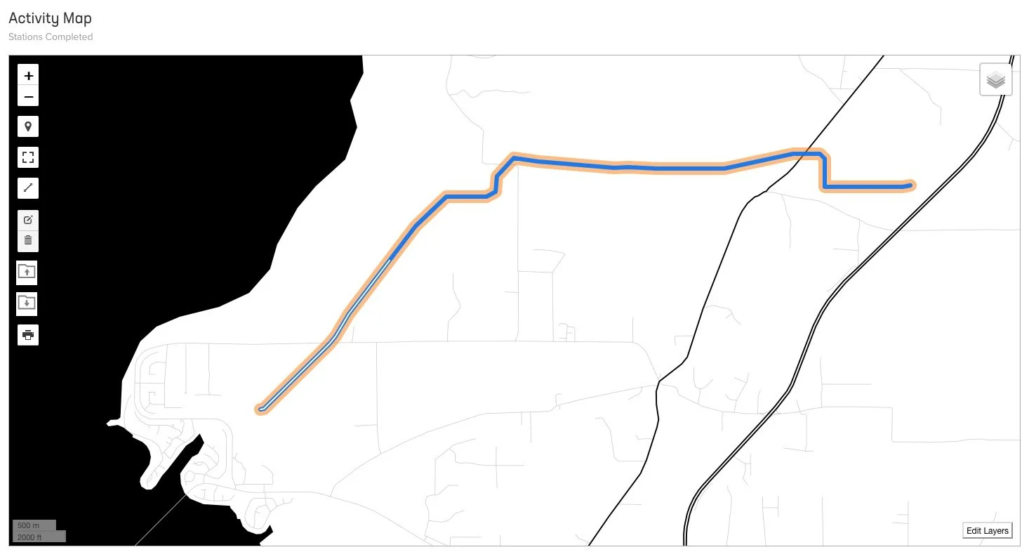
Maps are generated automatically when data is uploaded or input. Once asset data comes in, no time is spent waiting for someone to process it.
Automated Mapping
Arc Compatible
Data can be downloaded as a file geodatabase, or streamed to and from Arc Server with the included Orbital Connector API.
Orbital Connector API
Map in Style
Map styles are completely customizable with our full-featured style editor.
Map Style Editor
SITES AND LINESManage linear and site-specific assets.
Everything from linear structures like pipelines, power lines or fiber lines to site-based assets can be managed efficiently.
Station Calculations Embedded
Station calculations for linear assets are automatically made and applied. Any edits to events and features on the line are recalculated and stored immediately.
Location Calculations
Easily Add Locations
Sites like compressor stations, or substations can easily be loaded in and then placed on a map through a simple interface. If you have location data, mapping takes place automatically.
Spatializing Non-Spatial Data


